The Charleston region is famously beautiful, but it is also famously low. With a name like the Lowcountry, that should not be a surprise. For homeowners and buyers, that low elevation has practical implications. Flood zones, FEMA maps, base flood elevations, and elevated construction shape how homes are built, insured, and priced across the region. Understanding the basics will save you time, money, and headaches when exploring Charleston, SC real estate, whether you are looking at a downtown historic home, a marsh-front property, or a coastal beach cottage.
Why Elevation Matters in the Lowcountry
The Charleston peninsula and surrounding areas sit only a handful of feet above sea level in many spots. Tidal cycles, storm surge from hurricanes, and major rain events can quickly send water into low-lying yards, streets, and structures. Modern construction practices, flood insurance pricing, and building code requirements all respond to this reality. The higher above the projected flood level your home is, the better protected it tends to be against damage and the more affordable it can be to insure.
What Are FEMA Flood Zones?
FEMA flood maps divide the country into zones based on flood risk. In the Charleston area, the most common zones you will hear about fall into a few categories.
Zones A and AE
These represent Special Flood Hazard Areas with a 1 percent annual chance of flooding. Mortgage lenders require flood insurance in these zones, and many homes here are built on raised foundations or pilings.
Zones V and VE
These are coastal zones subject to wave action from storms, generally found on or near the beaches and barrier islands. Building requirements are even more stringent, and insurance premiums tend to be higher.
Zone X
Considered lower risk by FEMA, Zone X is outside the Special Flood Hazard Area. Lenders typically do not require flood insurance here, though many Charleston-area owners still carry policies because actual flood risk does not perfectly follow map boundaries.
What Is Elevated Construction?
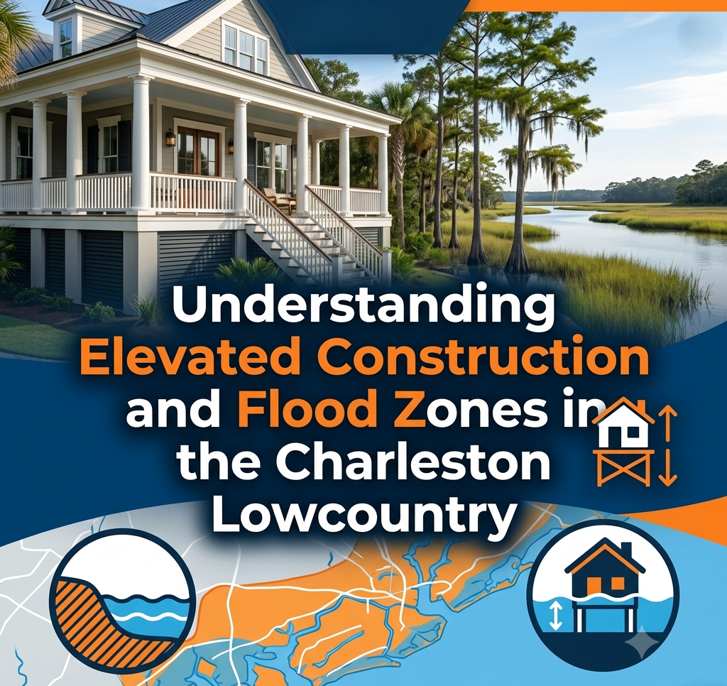
Elevated construction simply means the home is built so that the lowest occupied floor sits above a defined flood elevation, typically the Base Flood Elevation, or BFE, set by FEMA for that location. In the Lowcountry, this often takes one of three forms.
Raised on Pilings
Common on barrier islands like Folly Beach, where homes are built on tall pilings to lift the structure above storm surge. The space beneath the home is typically used for parking and storage rather than living space.
Raised Foundation or Crawl Space
Many traditional Lowcountry homes have raised foundations or crawl spaces that lift the first finished floor several feet above grade. This is common in places like Mount Pleasant, James Island, and parts of West Ashley.
Slab on Higher Ground
Newer master-planned communities are often graded to keep the first floor above the BFE without requiring traditional pilings. Slabs are still common in higher-elevation neighborhoods, though most modern coastal builders favor crawl spaces or raised foundations.
Base Flood Elevation and Freeboard
BFE is the height to which floodwaters are projected to rise during a 1 percent annual chance event. Many municipalities now require homes to be built one or more feet above BFE, a concept called freeboard. Charleston, Mount Pleasant, and other local governments have steadily increased freeboard requirements as flood risks become better understood. Higher freeboard generally means a more resilient home and potentially lower flood insurance premiums.
Why Elevation Affects Insurance Costs
Flood insurance premiums under the National Flood Insurance Program and private insurers depend heavily on how high the home sits relative to BFE. A home with an elevation certificate showing the first floor is two or three feet above BFE may pay dramatically less than an identical home built at or below BFE. Modern flood pricing under FEMA's Risk Rating 2.0 system continues to reflect these structural differences with even more precision.
For buyers shopping in Isle of Palms or other coastal areas, asking for an existing elevation certificate during due diligence is one of the smartest moves you can make.
Common Mistakes Buyers Make
The biggest mistake is assuming a Zone X property has no flood risk and skipping a flood policy entirely. Modern storms have shown repeatedly that water can move into homes far outside the Special Flood Hazard Area. The next most common mistake is failing to request an elevation certificate, which can lock buyers into higher insurance costs that could have been avoided. Finally, many buyers assume that older homes meet current elevation standards. They often do not, and that can affect both insurance pricing and future renovation requirements.
What Sellers Should Know
Sellers benefit from being transparent about flood history, elevation certificates, and existing flood policies that may be transferable. A clean and well-documented flood profile can be a meaningful selling point in today's market, particularly with out-of-state buyers and lenders increasingly focused on resilience. Pre-listing inspections, updated elevation certificates, and disclosure of any past flood claims help build buyer confidence.
Strategy for Buyers in the Charleston Region
Before falling in love with a specific property, request the flood zone, ask about base flood elevation and any existing elevation certificate, and run preliminary insurance quotes. Discuss how the home was built and whether it meets or exceeds current elevation requirements. If the home is in a Zone A, AE, or V area, plan to budget for flood and wind insurance as a real, ongoing cost of ownership. And whether the home is on a barrier island, the peninsula, or in a more inland suburb, work with a Realtor and insurance agent who understand coastal South Carolina, not generic flood guidance from outside the region.
Key Takeaways
Elevated construction and flood zones are not optional topics in the Charleston Lowcountry. They are central to how homes are built, insured, and valued throughout the region. Understanding FEMA zones, base flood elevations, freeboard, and elevation certificates puts buyers in a stronger position to make smart decisions and avoid expensive surprises. For sellers, transparency about flood history, elevation, and insurance can support stronger marketing and smoother closings. Either way, working with local professionals who understand the realities of building, buying, and selling in coastal South Carolina is the most important step.
Frequently Asked Questions
How do I find out what flood zone a Charleston home is in?
Your Realtor and insurance agent can pull the FEMA flood zone for any specific property using its address. The Charleston County GIS system and FEMA's flood map tools also let you check zones directly.
What is an elevation certificate and why does it matter?
An elevation certificate is a document prepared by a licensed surveyor that records key elevations of the home relative to the Base Flood Elevation. It can significantly affect flood insurance pricing and is often a key resource during home transactions in higher-risk zones.
Do all Charleston homes need flood insurance?
Lenders require flood insurance for homes in Special Flood Hazard Areas. While not required in Zone X, many homeowners in the Charleston region still carry it because flooding can affect homes outside the mapped high-risk zones.
Can I lower flood insurance with a new elevation certificate?
Often, yes. If a current elevation certificate shows the home sits higher relative to BFE than the existing rating reflects, your insurance carrier may be able to reprice the policy. Ask your insurance agent whether a new certificate could save you money.
Are homes on pilings safer than homes on slabs in the Lowcountry?
Generally, yes, for properties in high-risk coastal zones. Pilings keep the living space above potential storm surge, which can dramatically reduce damage during major storms. However, the right answer depends on the property's specific location and flood zone.
 Greg Harrelson is a seasoned Realtor® with more than 30 years of experience serving the Carolina markets. As the founder of Century 21 The Harrelson Group, Greg has built his career helping buyers, sellers, and investors achieve success in every corner of the coastal Carolina real estate market. His expertise spans residential homes, investment properties, land development, and coastal condos. Known for his deep local knowledge, innovative marketing strategies, and commitment to personal service, Greg consistently helps clients reach their real estate goals while navigating the ever-changing market with confidence and precision.